

President
Dara N. Mendeloff, GISP

Dara N. Mendeloff, GISP, is a geographer, a NYC born and raised geo-entrepreneur, with a 20+ year career as a Geographic Information Scientist and Environmental Educator. Dara is the founder of DNM Geospatial LLC, a geospatial consulting and education company based in NYC that supports local communities to conduct research and development of geospatial data technologies to address sustainability challenges.
Her work supports interdisciplinary research projects involving the integration of socioeconomic and environmental data to create data and map products, and applications for distribution to comprehensive and diverse user communities. She is an expert in harnessing advanced GIS technologies to drive data-driven decision-making of local, regional and global geospatial data management and applications for sustainable development. Dara has a proven track record in managing web services and complex databases, ensuring enterprise data development, data dissemination, map and map service creation.
Prior to founding DNM Geospatial, Dara has worked at the Center for International Earth Science Information Network (CIESIN), the Climate School (formerly the Earth Institute) at Columbia University, the NASA Socioeconomic Data and Application Center (SEDAC), and the New York City Department of City Planning (DCP). Dara also has extensive experience teaching GIS courses as a Lecturer at Columbia University and the New School, as well as mentoring high school students in the Woodland Ecology Research Mentorship (WERM) program at Wave Hill and the Lamont-Doherty Secondary School Field Research Program (SSFRP) at Columbia University. She is an alum member of the Esri T3G (Teachers Teaching Teachers GIS) group.
Dara received her MA in geography/GIS from CUNY Hunter College, BS in environmental science and BA in mathematics / computer science from SUNY Purchase College. She has been on the Board of Directors of NYC Geospatial Information System and Mapping Organization (GISMO) since 2016.
Secretary
Danielle Hartman, GISP
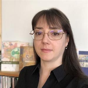
I am thoroughly enjoying my first term as a GISMO Board Member! It would be an honor to continue to serve the organization for another 2 years. The values of GISMO align with my own values in my career – lifelong education, professional excellence, collaboration, and working towards the common good.
I have been a GIS consultant for 27 years, in and around NYC. Through my jobs at several engineering companies, I have the experience of working with hundreds of different clients including many local agencies and institutions. I currently lead the Digital & Geospatial team in Arup’s NYC office.
As a GISMO Board member, I have been performing a number of tasks. I am organizing the Member Meetings including all of the event logistics. As Secretary, I am responsible for meeting agendas, scheduling, record keeping, and much of the email announcements. I have been actively sharing community news and job postings through the GISMO LinkedIn page. There were so many community events to keep track of this year, I created the Google Calendar on the website–I hope others are finding this helpful! Along with other Board Members, I actively recruit new members, contribute to the website, and perform a variety of other outreach activities.
Most importantly, I get to cultivate meaningful relationships within the geospatial community, learn about your work, and help us to inspire each other.
Treasurer
Alan Leidner
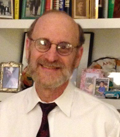
Alan Leidner completed a Masters Degree in Urban Planning from Brooklyn’s Pratt Institute in 1975. Mr. Leidner served as Assistant Commissioner in the NYC Department of Information Technology and Telecommunications (DOITT) from 1998 to 2004, in charge of the City’s GIS Utility. In the Fall of 2001, he organized and managed the Emergency Mapping and Data Center (EMDC) which provided information and mapping services to 9/11 responders. Alan has also worked for Booz, Allen, Hamilton on critical infrastructure protection, and for the Fund for the City of New York heading their Center for Geospatial Innovation. He currently serves on the Board of Directors of the NYC Geospatial Information Systems and Mapping Organization (www.gismonyc.org) and has worked with the Open Geospatial Consortium on the MUDDI underground infrastructure data model, a COVID related health data model, an Emergency Location and Language Application, and a study of Extreme Heat Events. Additionally, he serves as an advisor to Utility Mapping Services (USMI), and to New York University on their UNUM – NYC infrastructure mapping project. Mr. Leidner was a recipient of the 2001 NYC Sloan Public Service Award and the 2002 ESRI Presidential Award. Among other writings, Alan’s “Geo-Info CONOPS” article was published by GeoWorld Magazine in October, 2007. In 2022 a Smart Cities chapter he co-authored with OGC’s George Percivall, was published in the Springer Handbook of Geographic Information, 2nd Edition. Alan was recently appointed a member of the National Geospatial Advisory Committee, and has led the development of a Surface Fabric/Wireframe – Tile approach to developing the National Map. He has served as the President of both NYC GISMO and the NYSGISA.
Board Members
Shourya Dakania
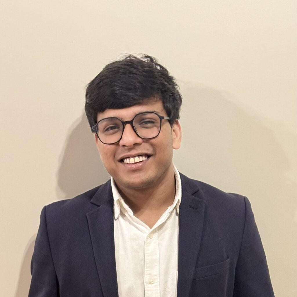
My name is Shourya Dokania, and I am currently pursuing a Master’s in Applied Urban Science
and Informatics at NYU’s Center for Urban Science and Progress (CUSP). I joined GISMO earlier
this year and have found it to be one of the most welcoming professional communities I’ve
come across in New York City.
My academic background is in urban planning and geospatial science. When I first moved here,
I was looking for spaces to connect with others in geospatial fields. GISMO filled that gap.
Being able to attend meetups and hear from practitioners across sectors helped me feel more
grounded as a student and early-career professional. One of the things I’d like to do on the
board is help strengthen that bridge, between students and professionals, and between
research and practice.
I am not coming in with grand ambitions but simply with a genuine interest in helping GISMO
remain active, collaborative, and inclusive. I see value in building continuity across terms and in
creating small but meaningful ways for students to engage. I’d like to support small, practical
ideas like student-specific informal events, collaboration with student groups like the Applied
Urban Science Association at NYU, and clearer ways for new members to find their place in the
community. I’ve also been inspired by the commitment of board members like Danielle
Hartman and Dara Mendeloff because of how much energy they bring to the community.
Seeing that kind of leadership is what encouraged me to get more involved and step forward
for this role. I don’t have all the answers, but I care deeply about the same things GISMO
stands for, open conversations, thoughtful urban work, and making GIS more accessible. I’d be
grateful for the chance to contribute to the board and continue learning through the process. I
admire the foundational work of Jack Eichenbaum and would be proud to help carry that
mission forward.
Wendy Dorf
I was employed in City government for thirty-five years, twenty in which I managed mapping projects at the Department of Environmental Protection. The first project I managed was the mapping of the Citywide Water Main System, one of the earliest digital maps of this magnitude. The success of this project paved the way for digitizing the sewer system and finally for the
development and implementation of the New York City basemap, completed with my colleague Alan Leidner and others. I became DEP GIS Director shortly before 9/11 at which time I was directed to manage a team of engineers and GIS experts to map the infrastructure beneath the remains of the World Trade Center to enable first responders to navigate the site safely. The team was known as the Deep Infrastructure Group (DIG).
Since retiring from government, I have consulted on numerous infrastructure digital mapping projects. I am a member of an NYU team that developed a pilot project, funded by the National Science foundation, to select a location and create a map pilot of the underground integrated infrastructure. The pilot project included stakeholders, representing the public and private sectors, engaged in development and maintenance of the underground infrastructure. Also, numerous political and community leaders signed on as stakeholders in support of the project. The grant proposed that the completed pilot project be transferred to a legal governmental entity. Twenty-two years after 9/11 the Mayor’s Office of Operations funded and assumed the ownership of the project named 3D Up.
To ensure citywide GIS development GISMO members testified at Citywide Charter Hearings in support of DoITT (OTI) 2158-2020, amending the City Charter, designating a geospatial information officer (GIO). The legislation mandates regular meetings of agency
GIS managers and geospatial experts. Intro 2158 was unanimously approved in the City Council in 2021. To date the law has not been implemented.
Although I have attended meetings with some of the Council members that introduced the legislation, there are new representatives due to term limits. After a brief introduction to my Council Member, we agreed to meet. I am dedicated to implementation as I believe that the basemap and infrastructure model already available for use will rapidly advance with a GIO and a committee comprised of NYC and private sector experts in discussion of development going forward in NYC. This effort will be my priority during the next term.
I have served on the GISMO Board of Directors for the last three terms. GISMO is a grass roots GIS organization comprised of members from the public and private sectors and academia who share information and present their latest GIS applications at meetings. Further, GISMO membership is comprised of GIS personnel representing city government agencies. I am a founding member of the New York Geospatial Catalysts (NY GeoCATS), Our mission is to jump start geospatial projects for the benefit of the citizens of our city.
I am proud to be running once again for the GISMO Board of Directors. During my long career it has become apparent that GISMO is the glue that keeps the GIS community together and informed and dedicated. GISMO is the pre-eminent organization to pioneer applications in response to real world needs.
Him Mistry
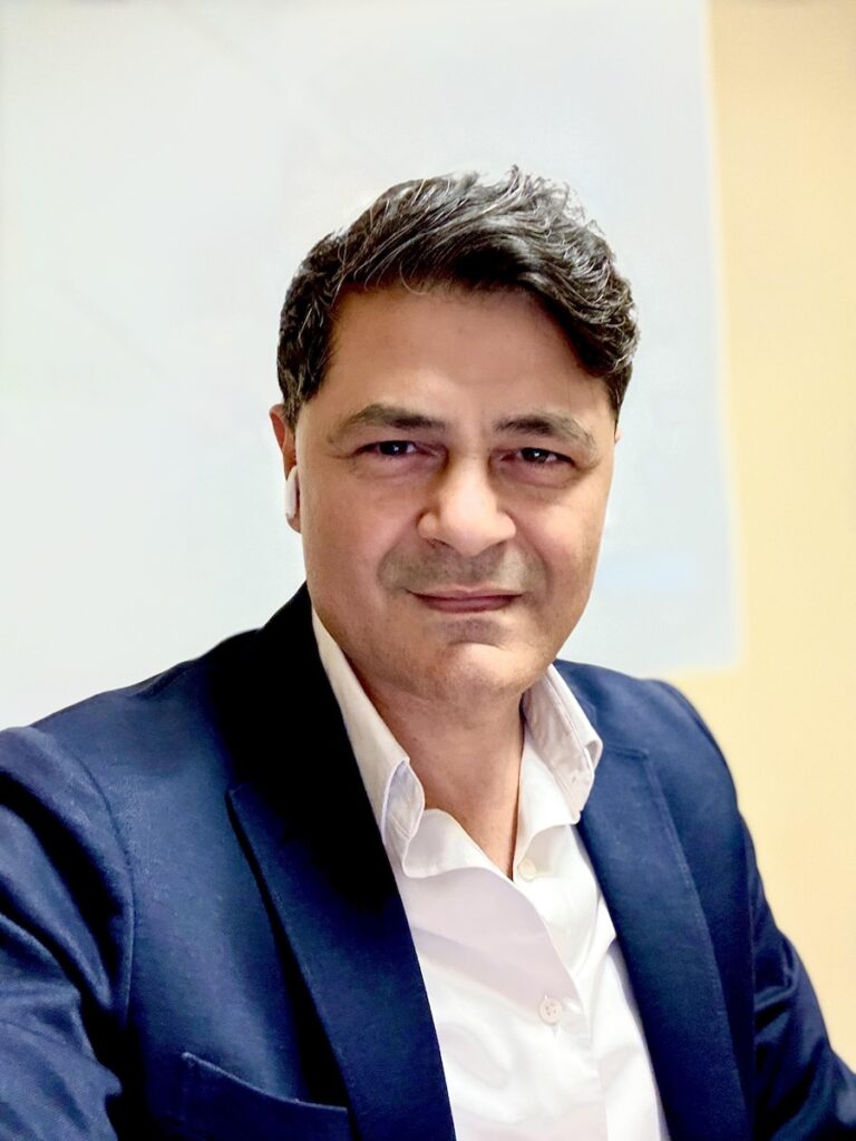
Himanshu (Him) Mistry is the Director at Research and Instructional Technology (RIT) and Co-Head of Data Services at New York University, where he leads the research services portfolio supporting teaching, scholarship, and community impact. In this role, he advises senior leadership, schools, and departments on investments in geospatial and data-driven technologies, pedagogy, and researcher support.
Him also serves as Adjunct Faculty and Faculty Mentor at NYU Tandon School of Engineering and the Center for Urban Science and Progress (CUSP). He teaches graduate-level courses in Urban Spatial Analytics and Geographic Information Systems (GIS), and advises doctoral and graduate students on spatial methods, data visualization, and capstone research.
He currently serves on the Board of Directors of the NYC Geospatial Information Systems and Mapping Organization (GISMO).
With over 20 years of experience in planning, design, GIS, and data analytics, Him’s background is rooted in architecture, urban design, and urban planning. He previously served as a City Planner with the New York City Department of City Planning, leading land-use and zoning studies and receiving the Barney Rabinow Award. Earlier in his career, he practiced as a licensed Architect and urban designer, contributing to comprehensive planning and post-disaster recovery projects. Him is the recipient of the Esri Special Achievement in GIS Award and the NYSGISA Award for Individual Contribution, and regularly contributes as a panelist and organizer at national and international geospatial forums.
Jose Pillich, PhD
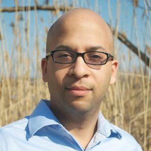
Jose L. Pillich, PhD is an interdisciplinary researcher with over 15 years of experience across the public and private sectors, specializing in geospatial and data analysis, urban planning, sustainability, environmental systems, financial services, and transportation. His work focuses on applying spatial analytics to improve social, environmental, and economic systems. He has worked as an adjunct professor, consultant, and researcher, presenting at major academic conferences and contributing to peer-reviewed journal publications.
His doctoral research examined heat vulnerability in New York City, using geospatial methods to identify populations and neighborhoods most exposed to extreme heat. During his postdoctoral work at Brooklyn College, he collaborated with HSBC executives on applied sustainability initiatives, including the development of green infrastructure sensors, employee education on environmental practices, and coordination with municipal governments across the United States and Canada.
In 2022, Dr. Pillich founded IQSpatial, a New York City–based, SBS-certified minority-owned geospatial consultancy. IQSpatial transforms location-based data into actionable insights across multiple industries, and he is currently developing new spatial products and services while preparing proposals for public- and private-sector RFPs.
Chris Rado, GISP
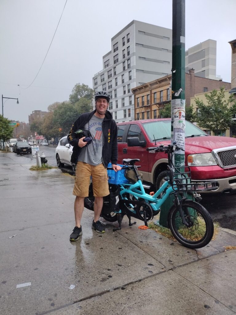
Chris Rado is an independent geospatial professional with over two decades of experience shaping New York City’s digital infrastructure. Having held key roles at the NYC Dept of City Planning, the MTA, and the NYC Office of Technology and Innovation, Chris created the city’s foundational zoning and street map datasets and oversaw critical 911 data governance. Now an independent consultant, he brings a deep understanding of urban data systems to complex spatial projects. He lives in Brooklyn, where he practices the mindful, meditative art of motorcycling in heavy traffic.
Noreen Whysel
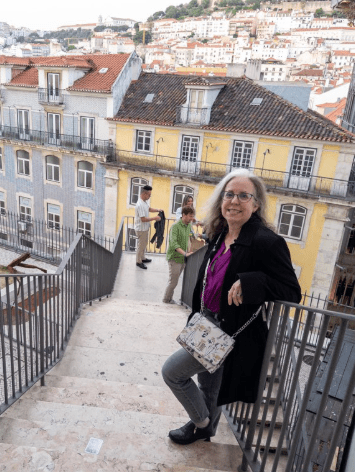
Noreen Whysel is an adjunct lecturer at CUNY City Tech in the Communication Design department where she teaches Web Traffic & Analytics and UX & UI Design. She has been a member of GISMO since 1992 when she was a real estate market researcher at Price Waterhouse. She loves geography and anything mapping related. If you want to impress this professor, put a map in your app.
Founder and President Emeritus
Jack Eichenbaum, PhD (February 2, 1941 – December 30, 2023)
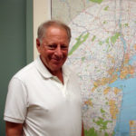
After more than 30 years of services as the founder and chief cheerleader of the GISMO community, Jack Eichenbaum retired from the Board of Directors. The board turned around and named him President Emeritus. Here is Jack on his own accomplishments, for which the GIS Community will be forever grateful:
I hold a Ph.D in geography from the University of Michigan (1972.) My dissertation research employed “computerized cartography,“ a primitive form of GIS. I continued academically as an assistant professor at the University of Washington but fell off the tenure track in 1975. I returned to my native NYC where in 1982 I became employed by the NYC Dept. of Finance as it began the computerization of its property tax valuation system.
Founding GISMO in 1990 was the best thing I did in 23 years of working in NYC civil service. Large local governments, like modern corporations and universities, are organized hierarchically so that information does not flow easily across agencies. Yet the problems we face clearly overlap agencies.
In 1990 I was using GIS to generate computerized property valuation for property taxing purposes in the NYC Department of Finance. I needed information about crime, school quality, demography and other data to help explain the variation of property value based only on physical characteristics. I also needed to learn more about GIS technology. With the blessings of my supervisors, I was able to devote time to organizing.
Some of my initial concerns have been addressed. There is a GISMO based GIS camaraderie in NYC which extends to the non-profit and private sector as well as different levels of government. At the Department of Information Technology and Telecommunications, data have been aligned to a common base map. And data now flows freely! We have a NYS-wide organization to bring us together on that level. (I participated in the early organizing efforts of that!)
Yet there are still some concerns that have not been well addressed. In general, data quality is not being maintained. As more expenditures have been directed toward computers and software, funds and priorities have shifted away from basic data collection and accuracy. Furthermore, NYC is located at the core of a tristate multi-county metropolitan area. For investigating transportation, ecological and and economic development issues, data needs to be able to cross political boundaries. At this time, metadata and data quality standards differ sharply among the municipalities, counties and states in Greater NYC. While GISMO has always welcomed participation from our neighbors, this has not resulted in much formal progress in solving data migration issues.
I retired from the NYC Department of Finance in 2005. When I did, my access to familiar GIS software and the rich property data base retired with me. My activity shifted more to fundamental exploration of NYC. (Exploration is the laboratory for the science of Geography.) I now teach Geography of NYC and also lead about 30 walking tours a year in different parts of NYC for a variety of groups. I am active in community affairs, particularly where expertise in history and geography is called for. (Since 2010, I have served as the official Queens Borough Historian.)
I felt such joy at GISMO’s 25th anniversary celebration in 2015 and look forward to celebrating GISMO’s 30th anniversary in 2020.