Venezuela Earthquake: Mappers Needed
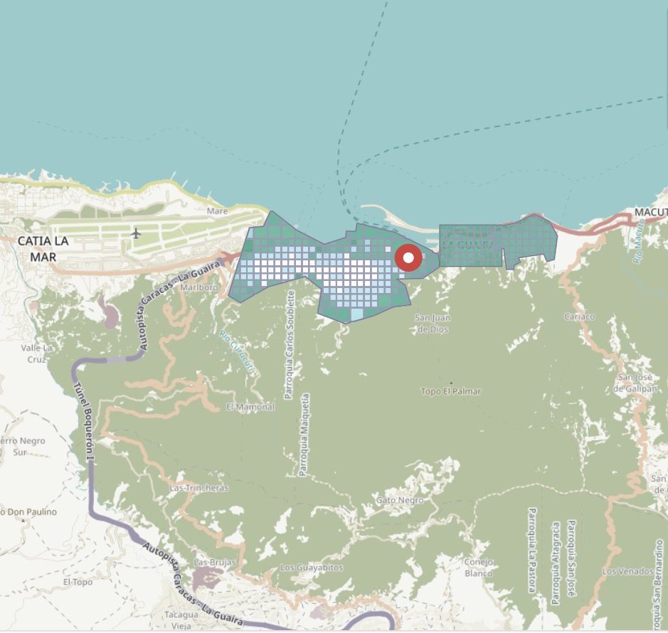
URGENT: Venezuela earthquake mappers needed from Him Mistry at NYU: Please share among your networks and help #HOTOSM complete an urgent Venezuela earthquake mapping task. HOTOSM has an active task where…
0 Comments
June 28, 2026